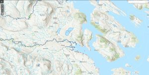
This is a map of the entire Cowichan & Koksilah Watershed.
Map of Water Quality Monitoring Locations in the Cowichan and Koksilah Watersheds
Cowichan Lake West Bathymetric Map
Cowichan Lake East Bathymetric Map
Cowichan Lake (1:50,000)
Large file: 34 mb


 Email
Email


